Mission Tejas State Park
- Niki DeLeon

- Jan 3
- 4 min read

Mission Tejas State Park is located between Crockett and Grapeland along Highway 21. I found this park when looking at the State Park map to find parks near-ish us. When looking at photos, I became absolutely infatuated, and the park definitely lived up to my hype. The park's infrastructure was impressive, especially when compared to other state parks. The trails were mostly clear, we saw little to no trash or debris, and the stairs were well-built and reinforced.


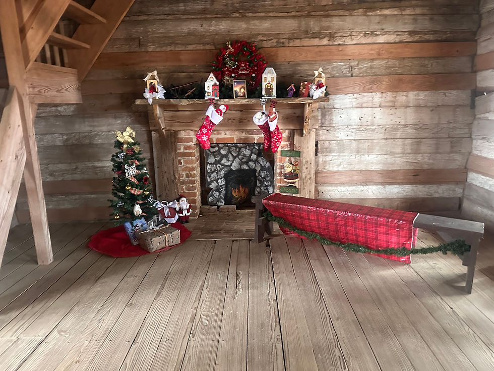
Before we left the Headquarters parking area, we caught sight of the Rice Family Log Cabin through the thicket, so we popped in there real fast. "Constructed by Joseph Rice beginning in 1828, this family home received several additions later in the 19th century. It was donated and moved to the park from its original location in 1973." (TPWD, 2024) The cabin was really cool to explore and read about.


After exploring the Rice Family Log Cabin, we drove up to the parking area near the playground. We started out following the Tejas Timber Trail around the pond, then picking up the Cemetery Hill Trail. This trail was mostly an incline up a pretty tall hill. It is not on the map with a difficulty rating, but I think I can safely say it's definitely moderate. From Cemetery Hill, we took CC Bathtub Trail to take a look at that point of interest. "This mysterious feature has long been called the CCC bathtubs, but we don't know who really built it or why. The CCC camp was a fully equipped barracks a mile away, so it wasn't needed for bathing. Perhaps the CCC or someone else built it as decoration." (TPWD, 2024) Justin said he was underwhelmed, but I thought these were pretty cool.


From the CCC Bathtub Trail, we picked up Olen Matchett Trail for just a minute before hitting the Step Step Trail. I really wasn't sure about this one. I have a massive fear of heights, and my ankle still doesn't bend correctly, nearly two years after a major break. However, the trail wasn't too bad once I told myself to slow down and not try to keep up with Justin. From Steep Step, we hopped on Big Pine Trail until we crossed paths with Tejas Timber Trail again and finished it out back to our starting point.


We left the playground parking lot and drove up to the Commemorative Mission where there is a small parking area. The mission was gorgeous, and just a really cool point of interest to explore. "Built by the Civilian Conservation Corps in 1934, this building commemorates the original 1690s Spanish mission from which the park takes its name." (TPWD, 2024)


After exploring the mission for a few minutes, we walked across the road and hit the Weches Run Trailhead. From there, we picked up the Hardwood Trail to the Nabedache Loop. We stopped by the San Pedro Creek Access and were surprised to find it has quite a decent flow to it. We did find lots of wild hog ruttings along the trail, but never saw any. We stopped by the El Camino Real right off the loop. If you ever have the pleasure of driving OSR (Old San Antonio Road), you've probably seen signs about "El Camino Real Route" and wondered what exactly that meant. While we were driving to the park, I looked it up and discovered it's a series of routes from Louisiana to Mexico that go through our area. "Beginning in the 1690s, Spain built a great road system extending from Mexico all the way to Louisiana. Remnants of this Royal Road can be seen in the park today." (TPWD, 2024) We picked up San Pedro Spur (or Mission Trail, as it was marked on the trail) to bring us back to the main road way just a short distance from where we left the car.


This park was really beautiful for a visit this time of year. I told Justin several times I want to come back and maybe camp with the boys. I do not plan on doing any hiking here with the boys, except maybe the Tejas Timber Trail. We hiked for roughly 1 hour 46 minutes for a distance of approximately 3.88 miles and an elevation gain of 444 feet (which was shockingly more than we achieved in Big Bend), according to my Apple Watch. Highly recommend this park!!
The information shared and quoted about the points of interest came directly from the Mission Tejas Trail Map.

Comments